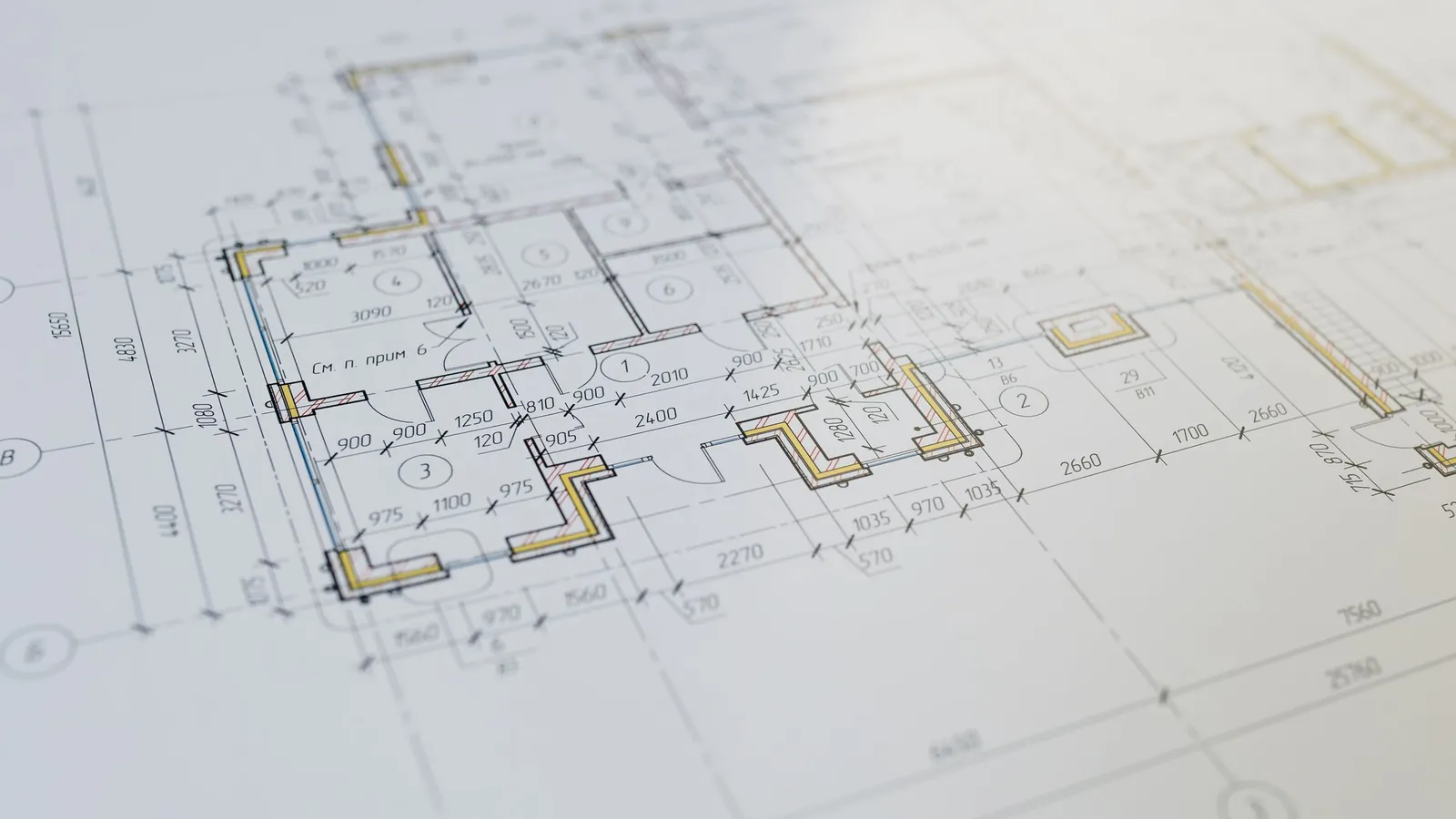
As-built Revit models
Existing conditions modelled to LOD 200-350 with a documented accuracy tolerance.
Archilance LLC
Point Cloud to BIM
Registered point clouds converted into accurate as-built Revit models — with a stated deviation tolerance, so you know exactly how much to trust the geometry.
Overview
Renovation and retrofit work fails on bad existing-conditions information. A point cloud has the truth in it, but a cloud is not a model — somebody has to decide where the wall actually is when the scan says it leans 30mm over three metres.
That judgement is the job. We model to an agreed tolerance, flag what deviates beyond it, and hand you a Revit model that is honest about the building rather than tidily wrong.
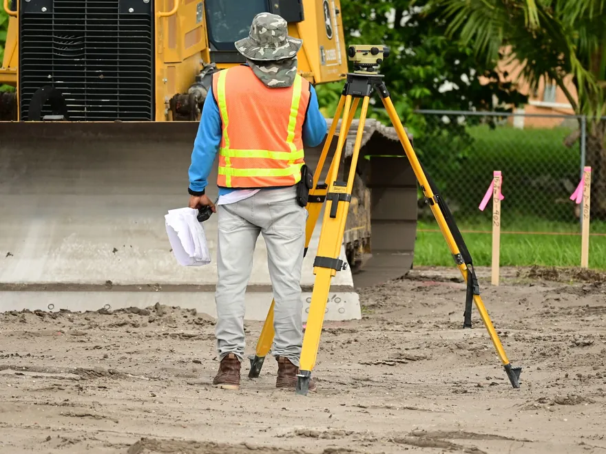
Existing conditions modelled to LOD 200-350 with a documented accuracy tolerance.
Scan data cleaned, registered and indexed into .rcp ready to link into your project.
Heat-mapped comparison showing where the built fabric departs from the modelled geometry.
Existing services modelled from scan data for retrofit and clash coordination.
Existing plans, elevations and sections generated from the verified as-built model.
Detailed modelling of period fabric and mouldings where the profile genuinely matters.
How we work
Same process on every job, whether it is a single drawing or a full package — so you always know what happens next.
You send E57, RCP or raw scans. We check coverage and tell you honestly if anything is missing before quoting.
Clouds registered, noise and clutter stripped, coordinate system aligned to your project base point.
Elements modelled to the agreed deviation, with anything outside it flagged rather than silently straightened.
Model checked back against the cloud, deviation report issued with the native .rvt.
Software
Your team keeps working in the same tools afterwards — nothing arrives flattened or locked.
Selected work
A few recent examples. The full archive is filterable by discipline.
FAQs
Anything not covered here, ask us directly — you will get a straight answer from an architect, not a sales script.
Fifteen minutes, no obligation. We will tell you honestly whether we are the right fit for your project.
Book a callAlso available
Move hours between disciplines as the project needs them — no new contract, no new rate.
LOD 100 to 400 models, sheet production, parametric families and coordination — built in your template, to you...
View serviceComplete construction and permit drawing packages prepared for your jurisdiction — assembled, cross-referenced...
View serviceConcept, schematic design and design development handled by qualified architects — so your studio can take on...
View serviceStart today
Send one live piece of point cloud to bim work. If the output is not what you wanted, you pay nothing — and we keep going until it is.